Industrial Division
Precision GIS Mapping
& 3D Surveying
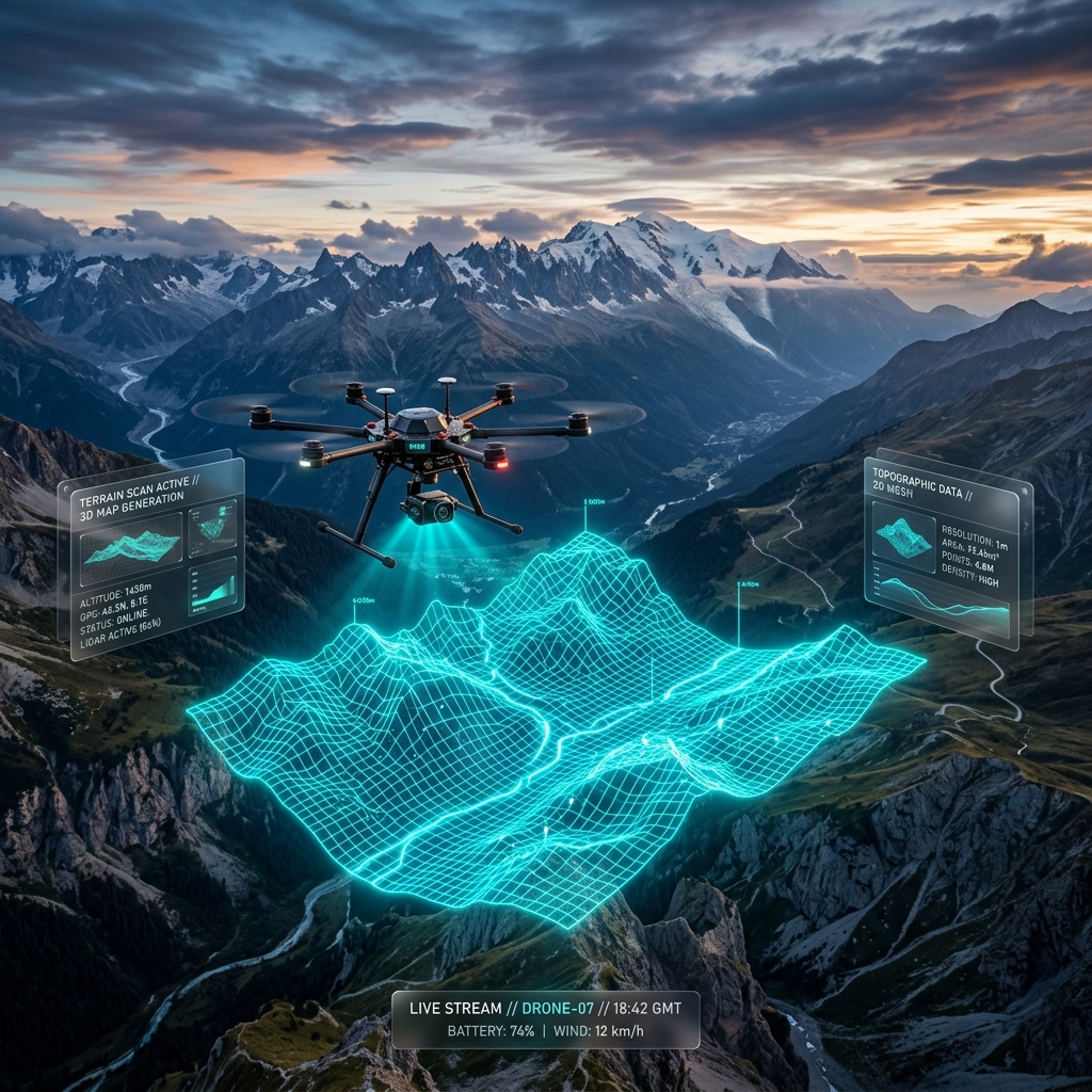
We use drones to create highly accurate maps and 3D models for farming, construction, and city planning.
Use Cases
Industrial Applications
High-resolution spatial data designed for enterprise workflows.
Data You Can Trust
Our Survey Outputs
Digital Terrain Models
Detailed maps that show the exact shape and height of the ground, which is very useful for planning buildings or checking water flow.
3D Digital Twins
Realistic 3D models of buildings and land that you can view on your computer, perfect for sharing with your team or clients.
Precision Agriculture
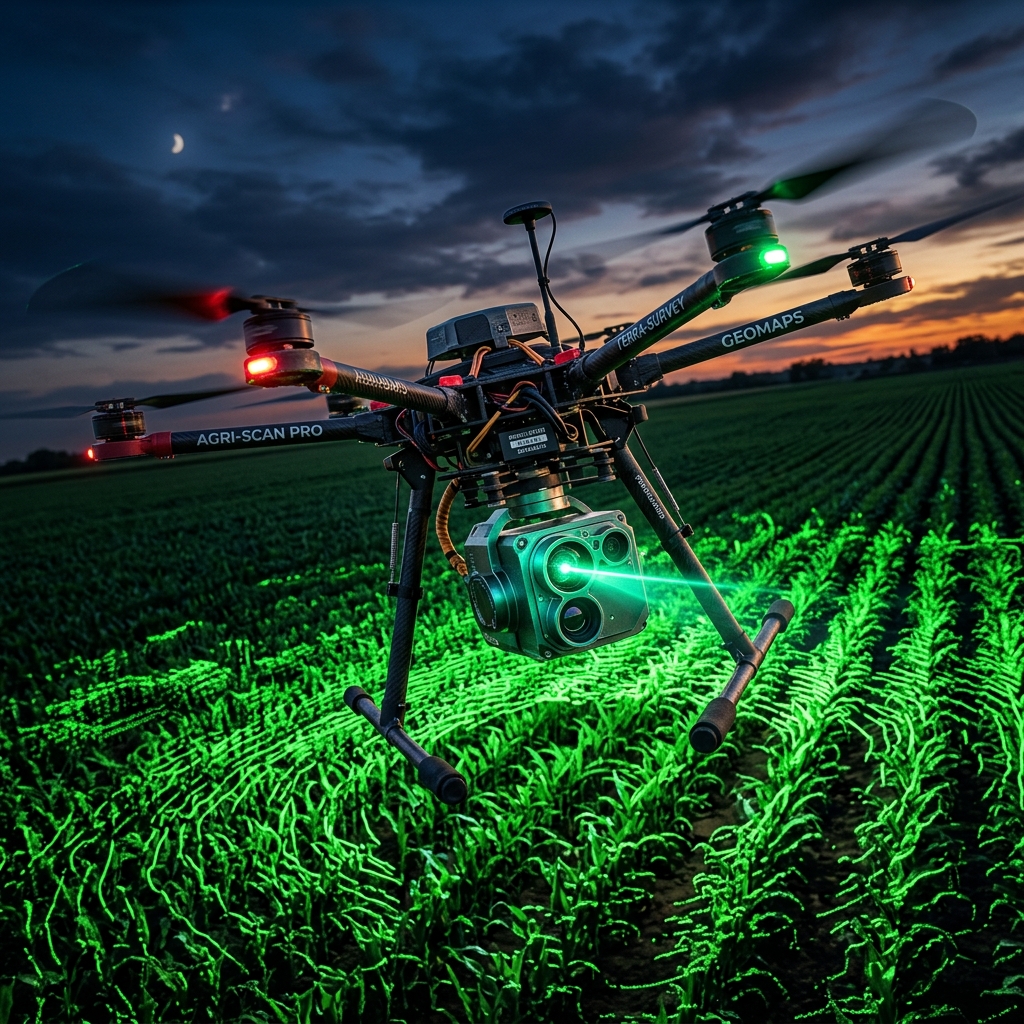
Special cameras on our drones can see the health of crops, helping farmers know exactly where to water or add fertilizer.